


source de valleroy

nicolasdresse
User
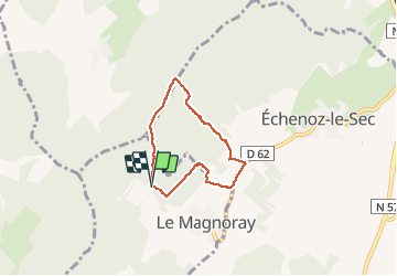

Length
5.1 km

Max alt
437 m

Uphill gradient
119 m
Km-Effort
6.7 km

Min alt
347 m

Downhill gradient
116 m
Boucle
Yes
Creation date :
2018-09-29 20:52:35.633
Updated on :
2018-09-29 20:52:35.861
1h37
Difficulty : Unknown

FREE GPS app for hiking
 SityTrail
IGN / Geographical institutes
SityTrail Plus
The world is yours!
About
Trail Walking of 5.1 km to be discovered at Bourgogne-Franche-Comté, Haute-Saône, Le Magnoray. This trail is proposed by nicolasdresse.
Photos


Positioning
Country:
France
Region :
Bourgogne-Franche-Comté
Department/Province :
Haute-Saône
Municipality :
Le Magnoray
Location:
Unknown
Start:(Dec)
Start:(UTM)
281295 ; 5268456 (32T) N.
Comments